 |
| The start of what was going to be a long day. |
The territory for the book I am writing on clouds has been in flux these past few months. I had originally planned to write exclusively about the clouds I could see from Olympia. Then I wanted to go to Costa Rica and visit the Monteverde Cloud Forest and to the Southwest because the clouds were different there. Eventually, I focussed on writing about clouds in Washington State--my book being a natural history of how the state's topography influences cloud formation.
I selected several sites in the state's physiographic provinces, but time flew by and I made but one trip. I thought about planning more, but you just can't schedule a cloud-watching vacation the way you can a bird-watching or whale-watching vacation. What if I got all the way to the southeast corner of the state and it was (gasp!) sunny! And did I really need to travel that far to see a cumulus cloud I could very well see from my back yard? Part of my book is to encourage people to enjoy the clouds right over their heads; no one needs to travel great distances to accomplish this.
So, after a bit of hemming and hawing, I've decided to focus on a swath of Western Washington where I spend most of my time, the places I have been drawn to over and over, the nearby places that I can walk or bike to and the far-away places where I go for a day trip or weekend.
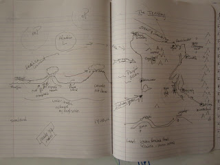
This swath is convenient and I have gerrymandered into territory I am calling a "Mega Hydrologic Cycle Unit." The clouds I see from Olympia appear and disappear within this territory. What does this territory look like? I tried to draw it in my notebook:
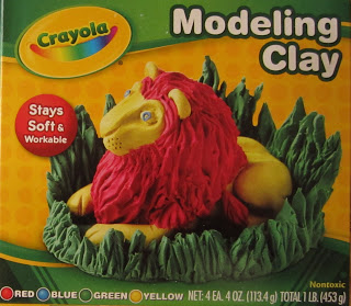
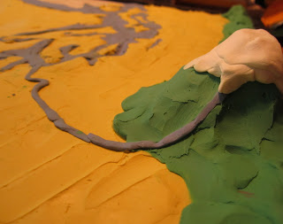
I could see the territory--but I couldn't feel the terrain. I have a relief map of Washington State, but many of the places I am planning to write about are not on it. I needed my own personalized, customized, relief map of my territory. So I bought some kiddie modeling clay, found a old whiteboard in a closet, sketched out the territory, and started smushing modeling the clay.
 |
| Luckily, there was coffee. |
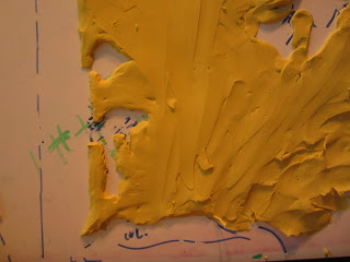 |
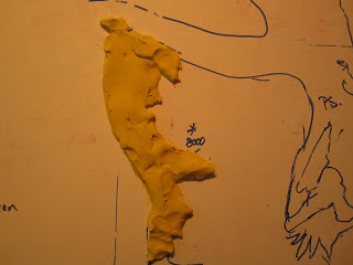
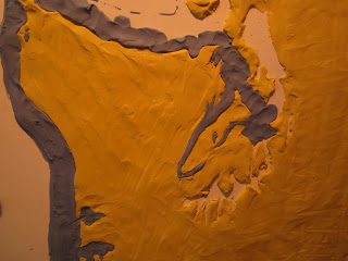
| In case you didn't recognize it, this is southwest Washington. |
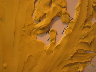 |
| Apparently, south Puget Sound is very complex and cannot be easily rendered without the help of glaciers and a millennium or two. The peninsula of land at center where Olympia is situated is roughly the size of Florida. It is not. |
 |
| In fact, there are several peninsulas of land in South Puget Sound. None look quite like these. |
 |
| Except from a distance. |
 |
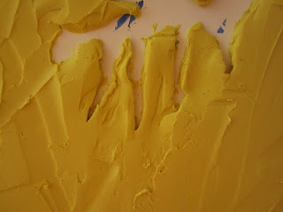
| Now the water--bays, lakes, canals, a strait, and some generalized water. |
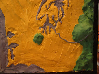 |
| Problems develop with scale and realism. The Black Hills looks like a wad of wasabi; the Nisqually River has overflowed its banks and several miles of floodplain; Mount Rainier and the Cascades look like...a lot of wasabi. |
 |
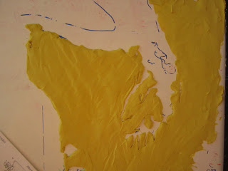
| It is okay to laugh at this one. The chewing gum atop Mt. Rainier is actually a snow-cap made of clay. That blue thing is not the tail of a mouse hiding under the snow, but the Nisqually River flowing from the Nisqually Glacier through/above what appears to be a landscape of Gulden's Mustard toward Puget Sound. But you get the idea. |
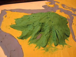 |
| Shortly after this sensitive rendering of Lake Quinault and the rain-forested valleys of the Olympic Peninsula, I decided to call it quits for the day. Now, a watering can and some cotton balls and--voila!--nimbostratus! |